Active hurricanes and tropical storms, live from the National Hurricane Center
Live · Official NHC / NWS data
Reading the latest official advisories…
Forecast cones & tracks
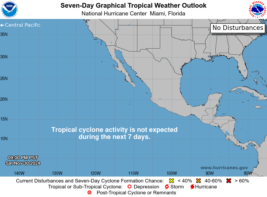
The official 7-day outlook maps

Coastal watches & warnings
Checking the coastal alert feed…
Cone touching your county? →
The 48-Hour Checklist is the calm, printable version of the two days before landfall.
Check your exact ZIP →
Every active NWS alert for your area, live from the official feed.
How much water and food? →
The supply calculator sizes it to your household, honestly.
The one rule of hurricane season. Track forecasts change; official guidance rules. When the
National Hurricane Center and your local emergency management disagree with a social media map, they win.
This page shows their data and links to their word, and it is not an emergency alert service.
Storm data: the latest public Tropical Cyclone Advisories, issued by the National Hurricane Center and read here through the National Weather Service API; outlook graphics served directly by nhc.noaa.gov. Coastal alerts: api.weather.gov, fetched live by your browser. Base map © OpenStreetMap contributors, © CARTO. Positions are advisory snapshots, typically updated every 3 to 6 hours.